
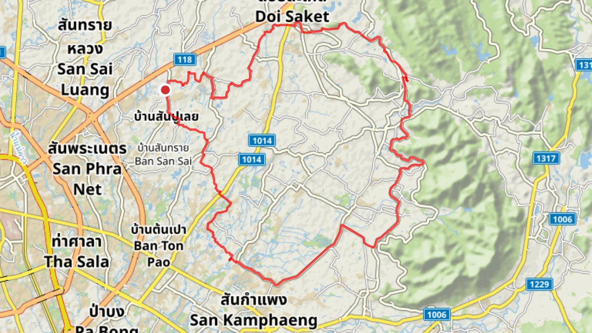
Trip Overview
| Distance: | 54.02 km |
| Elevation Gain: | 164 m |
| Coffee Stop: | Pan’s Farm |
View Map: Open in Locus Map App
Download Track: Download GPX File
Ride Description
This is a flat, anti-clockwise loop that heads south first toward San Kamphaeng. From there, the route turns north, following a the lower and upper irrigation canals. After a coffee stop at Pan’s farm, the loop continues north to Doi Saket before turning back west to head home.