
Trip Overview
| Distance: | 70.59 km |
| Elevation Gain: | 437 m |
| Coffee Stop: | C Kaffe Coffee & Bakery |
View Map: Open in Locus Map App
Download Track: Download GPX File
Ride Description
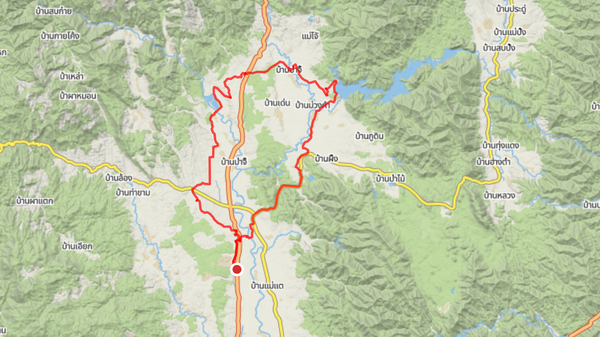
This loop starts along Route 107 and heads north through Mae Taeng up to the Mae Ngad Dam. From the dam, first a bit of gravel road and then to a coffee stop at C. Kaffe Coffee. The route then turns west, crossing Route 107, before finally looping south to complete the ride with another stretch of gravel.