
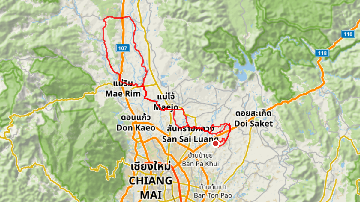
Trip Overview
| Distance: | 90.73 km |
| Elevation Gain: | 260 m |
| Coffee Stop: | Rab-a-bit |
View Map: Open in Locus Map App
Download Track: Download GPX File
Ride Description
A flat loop through the countryside north of Chiang Mai. The route goes northwest past Maejo University and up into Mae Rim. After making a loop with some gentle slopes across Route 107 in Mae Rim, it follows rural roads back down to finish where it started.