
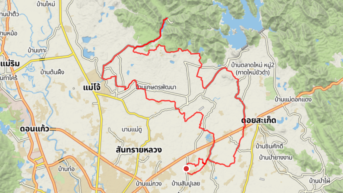
Trip Overview
| Distance: | 63.86 km |
| Elevation Gain: | 301 m |
| Coffee Stop: | Owlet |
View Map: Open in Locus Map App
Download Track: Download GPX File
Ride Description
This ride takes a northern route heading first toward the Mae Kuang dams, followed by a long, stretch of gravel road to the Huai Cho reservoir. After that for a coffee break to Owlet before returning via a flat ride back home.